Applauding Innovation: How Esri Helps Bring Missing Children Home
Bringing awareness to missing children has never been easier—or more powerful. For decades, innovation has been at the heart of how the National Center for Missing & Exploited Children spreads the word about the issues we are tackling. From faces on milk cartons to billboards to social media, public awareness has always been one of the most important tools in finding missing kids.
Now, thanks to the innovative technology provided by Esri, a leader in mapping and software solutions, the search for missing children has been taken to a new level.
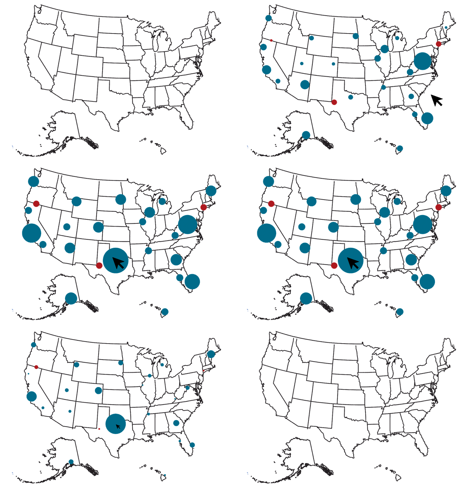
For the first time, the public has the ability to clearly see where children are missing, not only across the country but also within their own communities and surrounding areas. NCMEC’s interactive map provides a powerful visual tool that brings missing child cases out of the shadows and onto a geographic view that anyone can explore. This increased visibility helps families, neighbors and entire communities stay more aware of the searches happening near them, while also offering a broader understanding of how widespread these cases are nationwide.
The new technology has dual functionality, including a standard view that provides simple navigation with basic map functions for people who want straightforward access to local information. It also has an advanced view that allows users to filter by date, location and radius around a point. Each missing child appears as a dot, or a cluster of dots, on the map. From there, users can zoom into their own communities and instantly see posters and details about children missing nearby. Whether you’re searching by location, case number or other filters, the map makes it simple to connect to real-time information.
“We are meeting the public where they are,” said John Bischoff, vice president of NCMEC’s Missing Children Division. “For years we’ve received requests for posters, information and custom searches for children in particular areas. With this new tool by Esri, the public, reporters and even web sleuths can look at the map and do a deeper dive.”

While the map may look simple, it’s powered by an advanced system. NCMEC and Esri worked together to make sure information updates automatically every few hours. This means that when a child is found, the poster is quickly removed so families don’t continue to see outdated alerts online.
It also means that other websites and apps can safely connect to NCMEC’s system and share only the most trusted, up-to-date information. In today’s world of constant digital content, that accuracy is essential.
The future of child protection is digital, but the children on this map are not just dots. Each marker represents a real child: a son, a daughter, a sibling. Each deserves to come home.
“I've had the privilege of working alongside NCMEC for all 14 years of my time at Esri, watching them evolve to this groundbreaking level of public transparency,” said John Beck, director of Law Enforcement Solutions at Esri. “In an era where bad actors use deepfakes and AI to create false missing child cases for clicks, NCMEC is fighting back with authoritative tech—putting authentic, real-time data directly into community hands. This represents everything we hoped to achieve when we started this partnership: turning sophisticated investigative tools into a force multiplier that makes every concerned citizen part of the solution.”
By opening this tool to the public, NCMEC and Esri are inviting communities everywhere to be part of the solution. Every person who looks at the map could be the one to recognize a face, remember a detail or make the call that helps bring a missing child home.
This innovation would not be possible without Esri’s dedication to using technology for good. By bringing its mapping expertise to the search for missing children, Esri is helping turn awareness into action and giving families new hope.
Explore the interactive map today—because behind every dot is a child waiting to be found.
